The Madison LakeWay
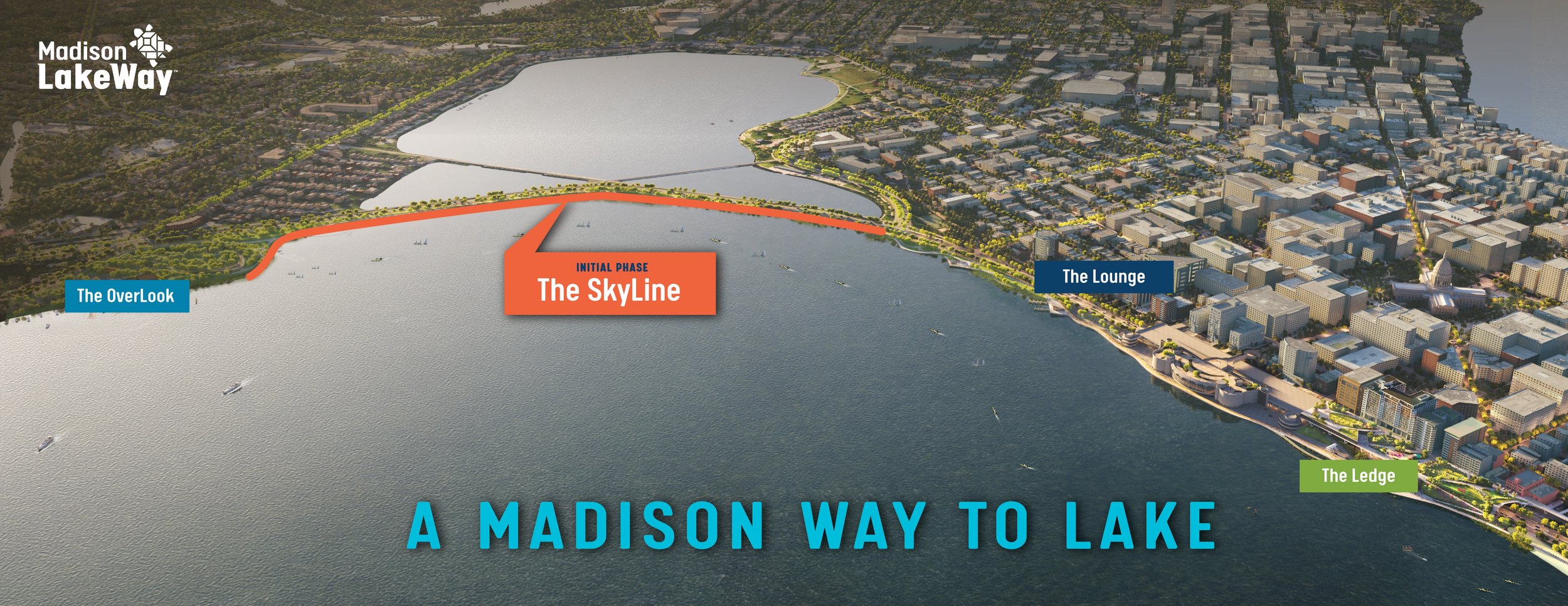
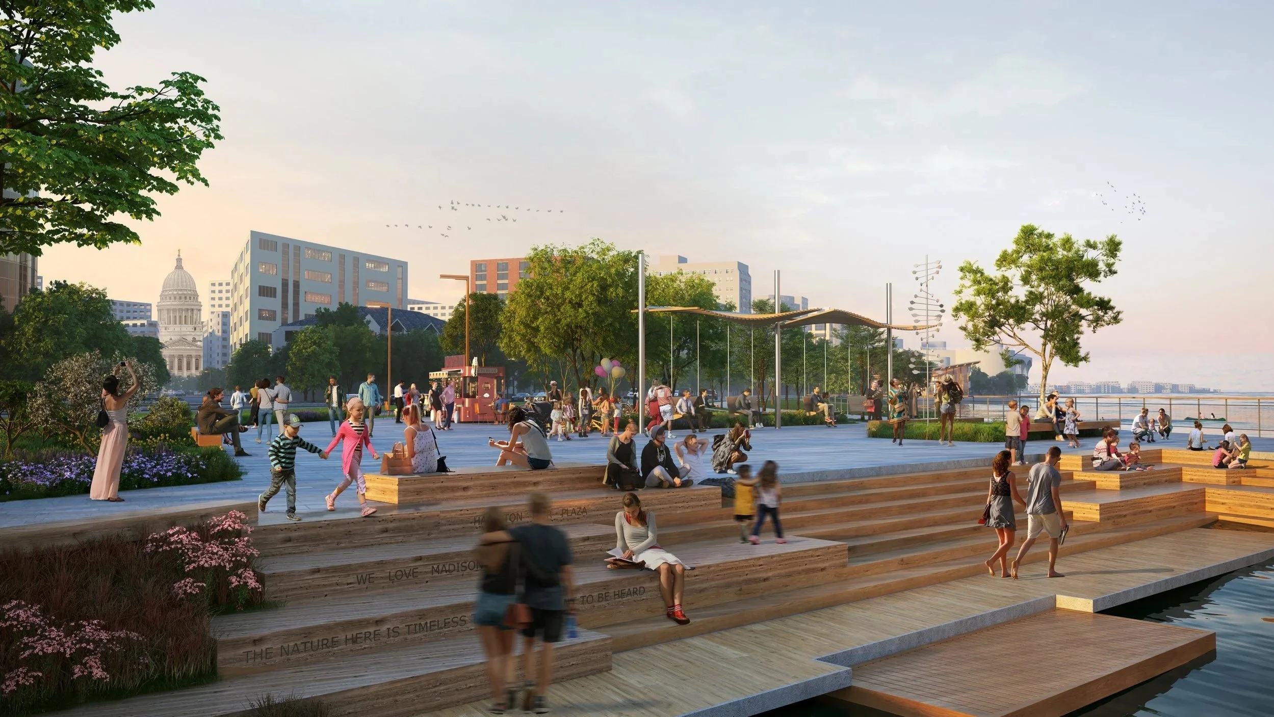
The district covers 1.7 miles and 17 acres of shoreline running from Law Park to Olin Park. The park district will connect downtown and south Madison to Lake Monona. The park will become one of the most dynamic public gathering spaces in our community and it will preserve our beautiful lakeshore for future generations to enjoy.
Click on the image to see the full master plan.
The Master Plan
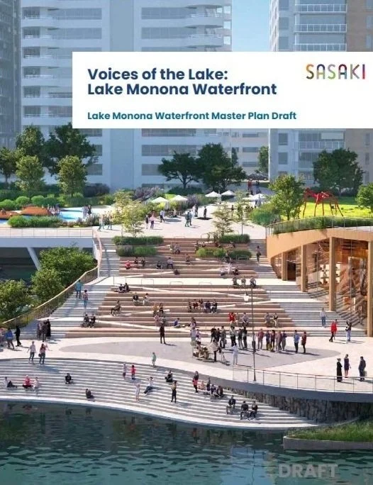
The master plan created by Sasaki was adopted by the Madison Common Council in April, 2024.
Madison is a thriving capital city with a history that is inseparable from its lake system. Millennia ago, Madison’s system of five lakes was part of a single water body, Lake Yahara. This freshwater lake and the fertile land around it became home to the first human inhabitants of the area, the Ho-Chunk Nation. Our relationship to the lake has evolved since then, along with its very geography; the Lake Monona we know today is largely defined by human usage. We are at an exciting point in the story of Lake Monona. This is a once-in-a-generation opportunity to create a waterfront that reflects the 21st century values of Madison. We have the rare chance to reflect the diverse voices of the city—past and present—and plan for future users.


